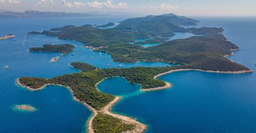
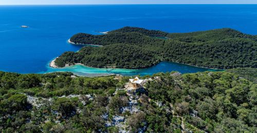
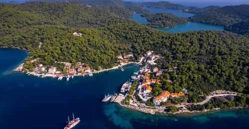
Šetnja, planinarenje, vožnja biciklom, jedrenje, ronjenje, veslanje u kajacima i kanuima, lov,...
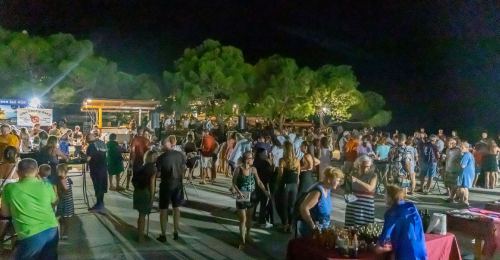
Zabavna, kulturna, glazbena, eno-gastronomska, sportska, oslonjena na tradiciju... Mljetska su...


 Povećaj font
 Smanji font
 Crno bijelo
 Visoki kontrast
 Negativni kontrast
 Svjetla pozadina
 Podcrtane poveznice